


Surface Currents and Sea Surface Height Simulated by the EFCOM Nowcast/Forecast System
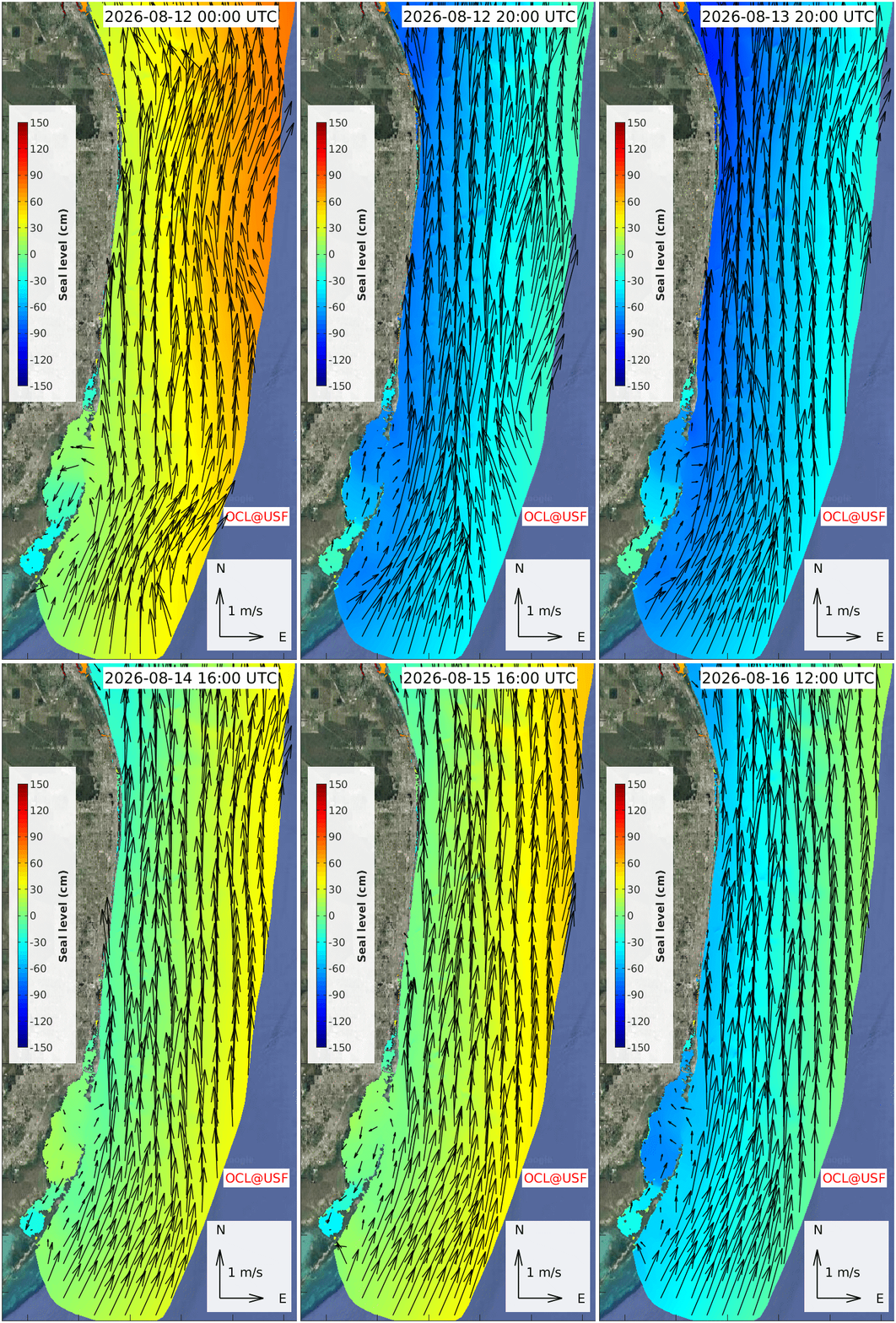
This movie shows the surface currents and sea surface height simulated by the EFCOM Nowcast/Forecast system in the southern part of East Florida coast region. The above animation is also shown as an interactive movie.
Go back to whole coastal region of East Florida page or view sub-regions along the East Florida coast:
For specific tide gauge locations, EFCOM water level veracity tests and forecasts are provided in this webpage.
Acknowledgements: This model product is currently supported by NOAA COMIT, NOAA IOOS through SECOORA, State of Florida through the Florida Flood Hub, Florida DEP and FWC/FWRI, and the Florida Restore Act Center of Excellence Program (FLRACEP).
Disclaimer:
These research products are approximate model simulations under development. No warranty is made, expressed or implied, regarding accuracy, or regarding the suitability for any particular application. All rights reserved: University of South Florida, College of Marine Science - Ocean Circulation Lab. Copyright, 2025.